About QGIS
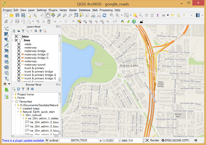
QGIS is a user friendly Open Source Geographic Information System (GIS) licensed under the GNU General Public License. QGIS is an official project of the Open Source Geospatial Foundation (OSGeo). It runs on Linux, Unix, Mac OSX, Windows and Android and supports numerous vector, raster, and database formats and functionalities.
Our latest release is QGIS 3.36
The Community
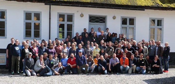
QGIS is a volunteer driven project. We welcome contributions in the form of code contributions, bug fixes, bug reports, contributed documentation, advocacy and supporting other users on our mailing lists and gis.stackexchange.com. If you are interested in actively supporting the project, you can find more information under the development menu and on the QGIS Wiki.

Features
QGIS provides a continously growing number of capabilities provided by core functions and plugins. You can visualize, manage, edit, analyse data, and compose printable maps. Get a first impression with a more detailed feature list.
Take the QGIS feature tour


Case Studies
We also collect case studies of how people all over the world use QGIS for their GIS work.
See our QGIS case studies
Supporting Organizations
We welcome financial contributions in the form of sustaining memberships and donations.
Organizations that support QGIS


Commercial Support
Do you plan to use QGIS in your company or organization, but worry about whether there is commercial support available? Here is an alphabetical list, divided in categories, of support contractors.